The process of making the project documentation includes finding the best solution for building a certain object which is optimized from several aspects (social, financial, ecological…).
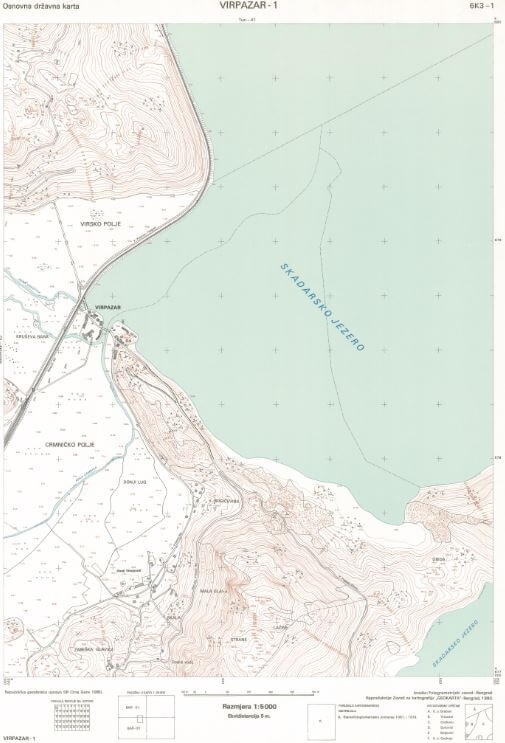
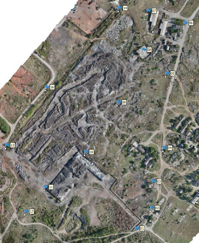
In order to correctly view all the characteristics of an object, (building, road, tunnel, bridge, damn…) that mainly depend on the spatial characteristics of the location on which they are being built, it is necessary to pay special attention to the creation of the surveying map, as the basic input during projecting. The surveying map is most commonly made in the national coordinate system (the same system is valid for the real estate cadastre) and contains a great number of various geospatial data. It is made in digital and analog (printed) form, in the appropriate scale , and in accordance to the project demands.
In contemporary geodesy a big accent is being put on modern/ digital technology of data gathering and their processing, whose presentational maximum is possible only digitally. In spite of that, analog surveying map and the classic way of interpretation are still a mandatory part of project and other documentation in civil engineering.
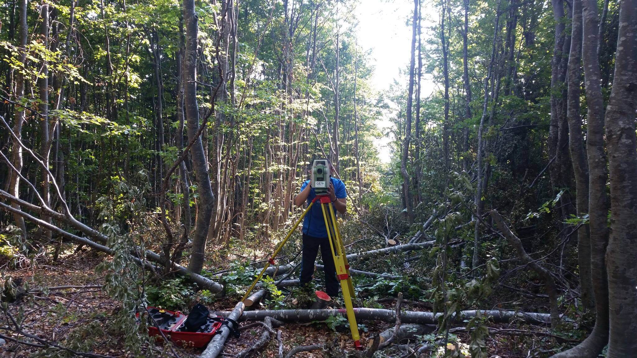
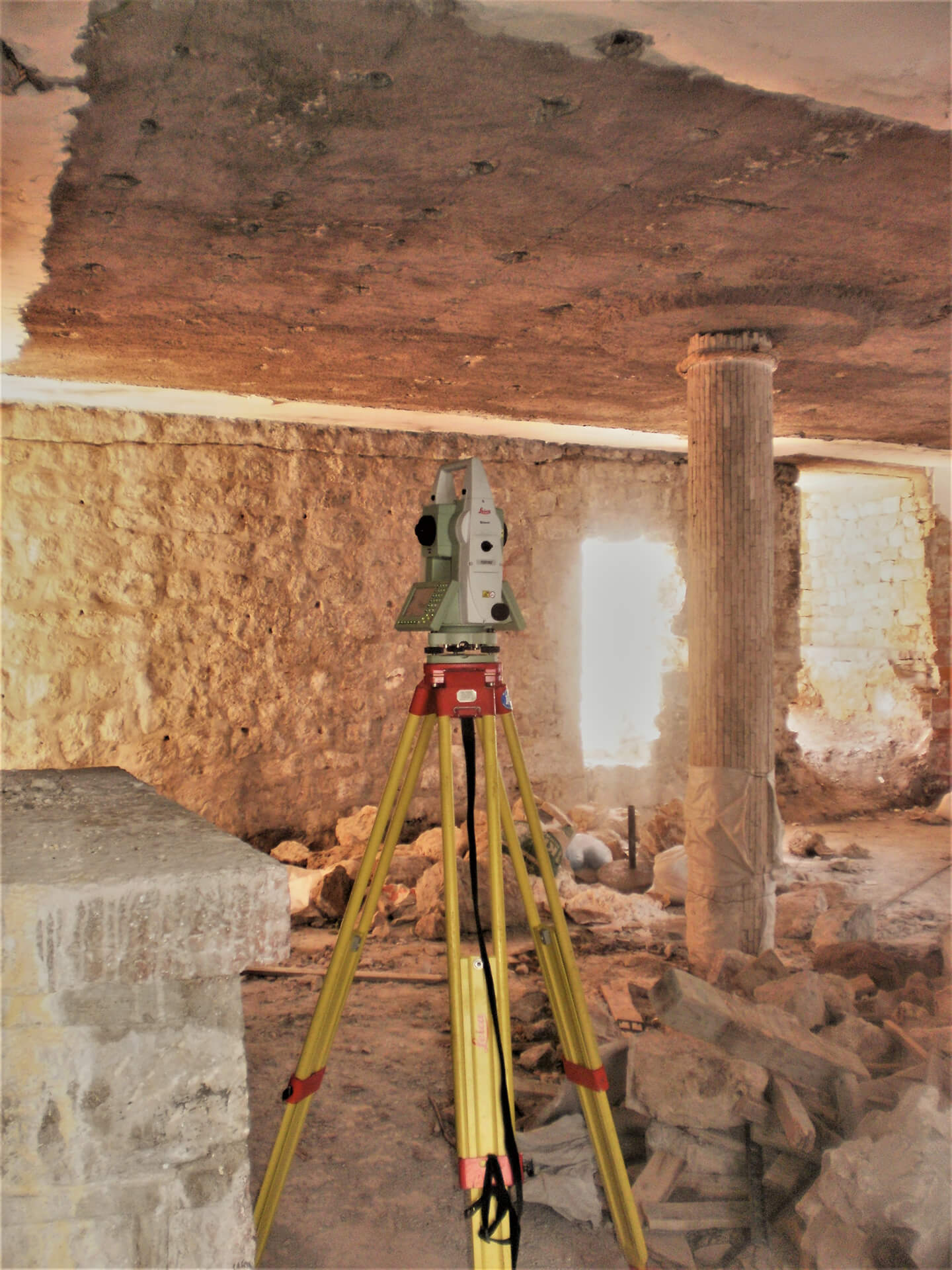
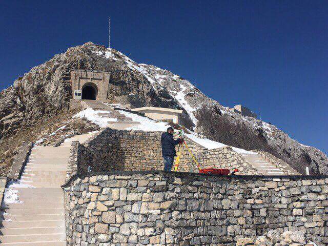
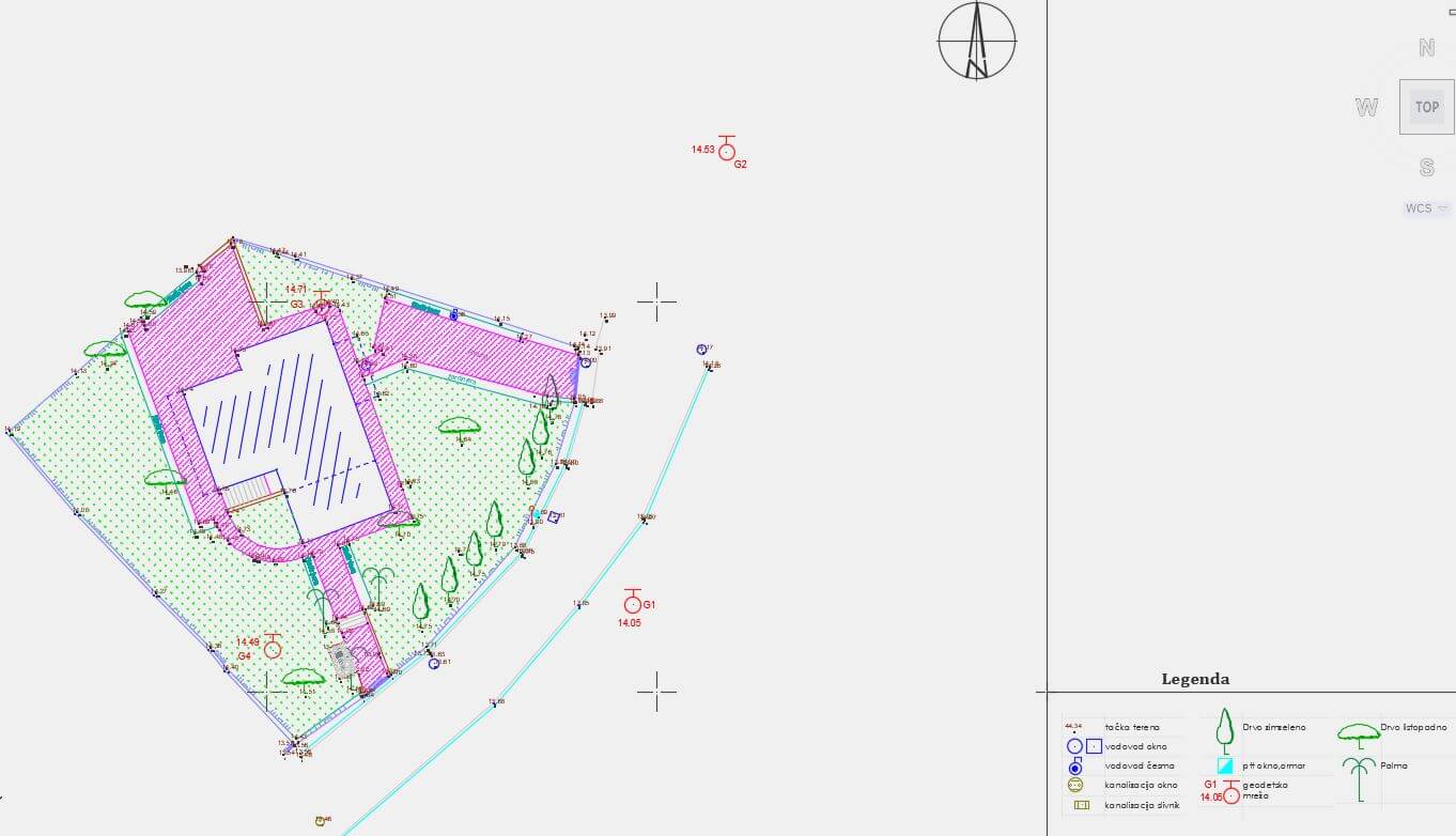
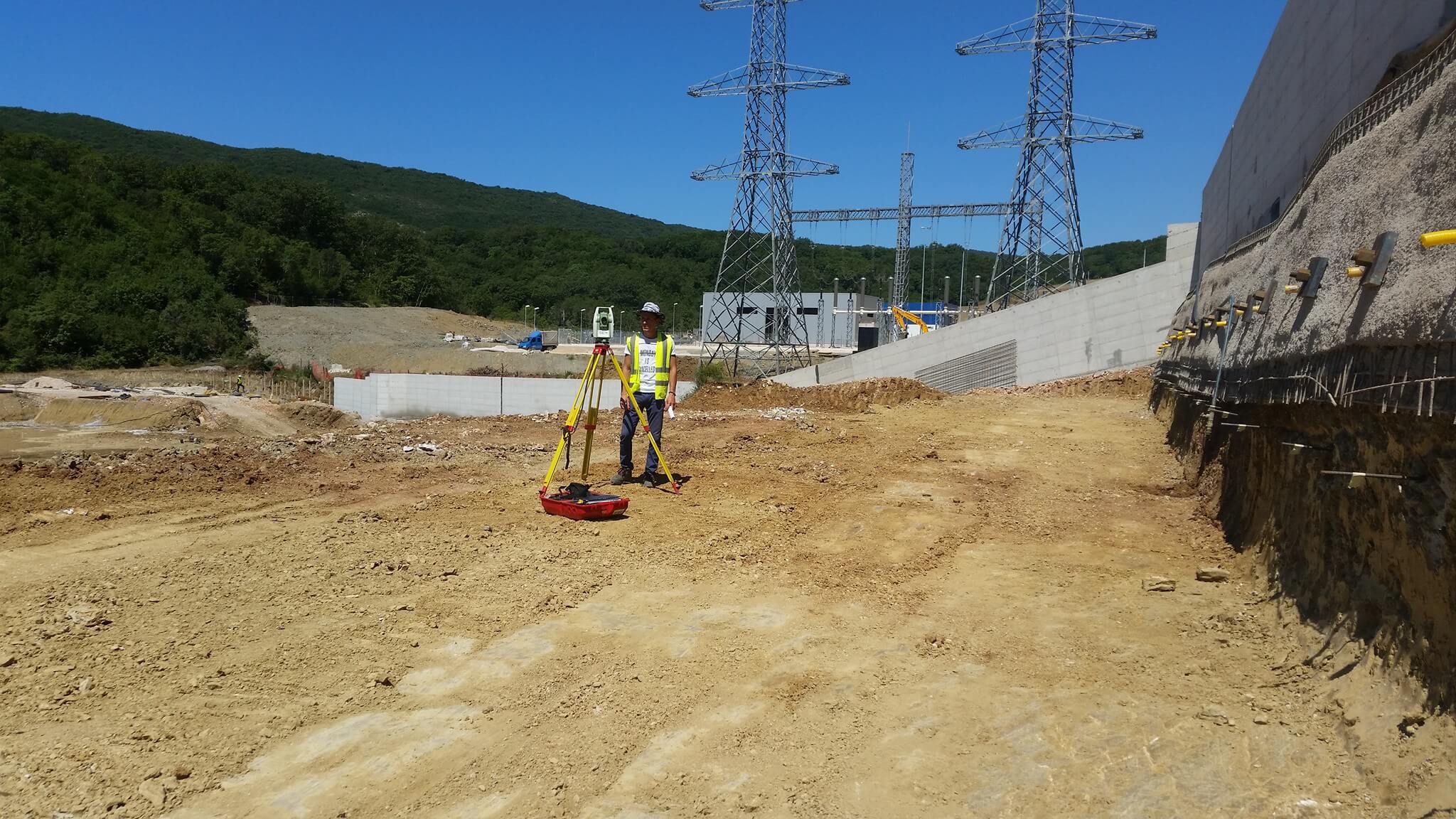
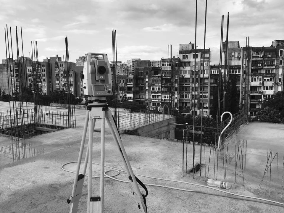
Experience shows that success in building an object mostly depends on the possibility for the object to be built in accordance with its project in the utmost possible measure, whether it is in regards to applying the project materials, or in regards of the possibility to create the projected geometric shape. The geometry of the object represents projected 3 dimensional measurements of the object in the national coordinate system with the appropriate infrastructure (the same coordinate system is valid for the cadastre real estate). The object is represented by a certain number of projected points (projected X, Y, Z sizes) that are marked and followed during building the object by geodetic methods. All the measuring is done of a geodetic network that is used for building a geodetic surveying map or homogenous/compatible network to it.
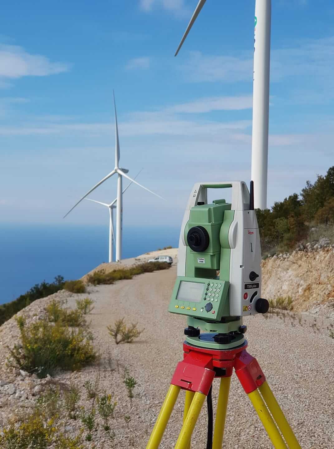
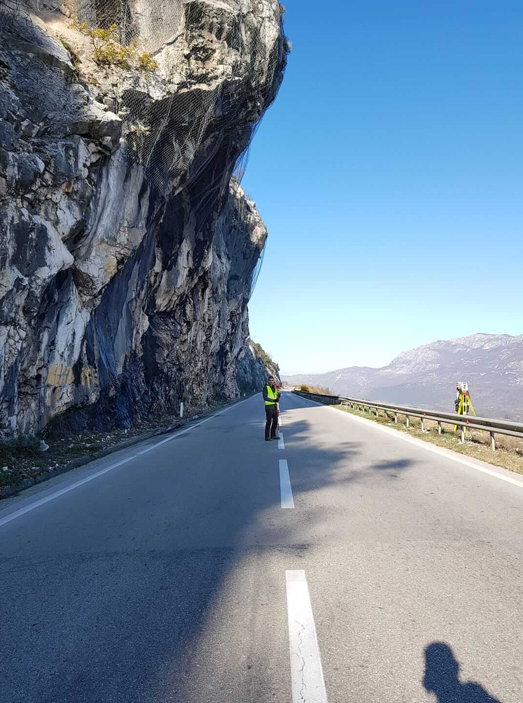
Providing the services of Monitoring the geometry of the object, our experts come across various demands in regards to projects, whereby we choose the appropriate geodetic methods of marking( depending on the need of marking accuracy, shape and the object complexity, weather conditions…)
For certain types of objects permanent tracking of its geometry are necessary, during building, as well as during the exploitation of that object. Those kind of geodetic services are called The observation of the objects deformities (Auscultation) and are done periodically in epochs.
The most modern equipment and the experience of our team is what enables us to offer the best geodetic service.
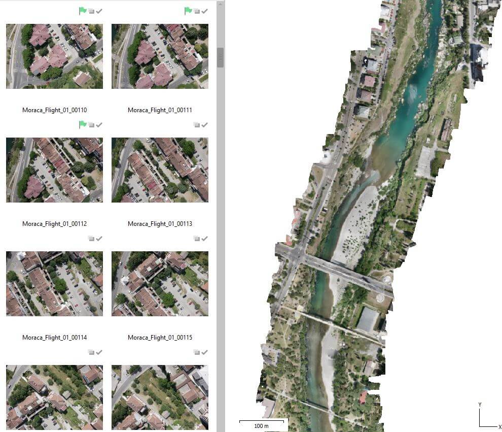
Photogrammetry is the technology for gathering reliable tridimensional information about objects and surrounding areas through the process of recording, measuring and interpretation of photographic footage. According to the way of data acquisition it is separated into: analog (Classic film) and digital (digital data carrier). Division according to the position of the camera: terrestrial photogrammetry (the camera is on the ground), Aerial photogrammetry (the camera is located in an airplane, helicopter, drone), Satellite photogrammetry (the satellite camera).
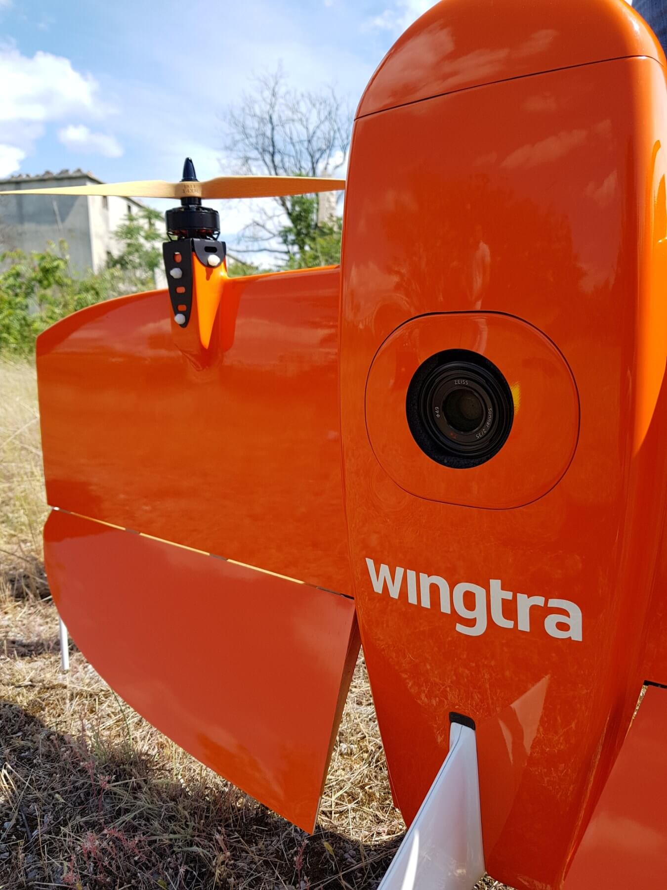
High precision air footage WingtraOneVTOL (https://wingtra.com/) with a drone is just a part of the support we provide in the area of gathering and processing of geospatial data (engineering, cadastre, GIS, agriculture, environmental protection…). Thanks to its hybrid VTOL design and high resolution cameras (up to 42MP) Wingtra One provides data of aerial photogrammetric recordings, which can hardly be compared to other drone systems in the sense of the quality of the photograph and the accomplished accuracy. In addition to that it has an 80% greater efficiency in relation to classic terrestrial methods of recording or commercial copters.
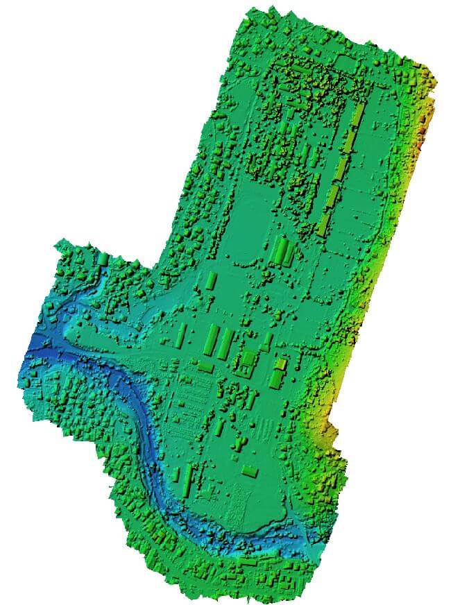
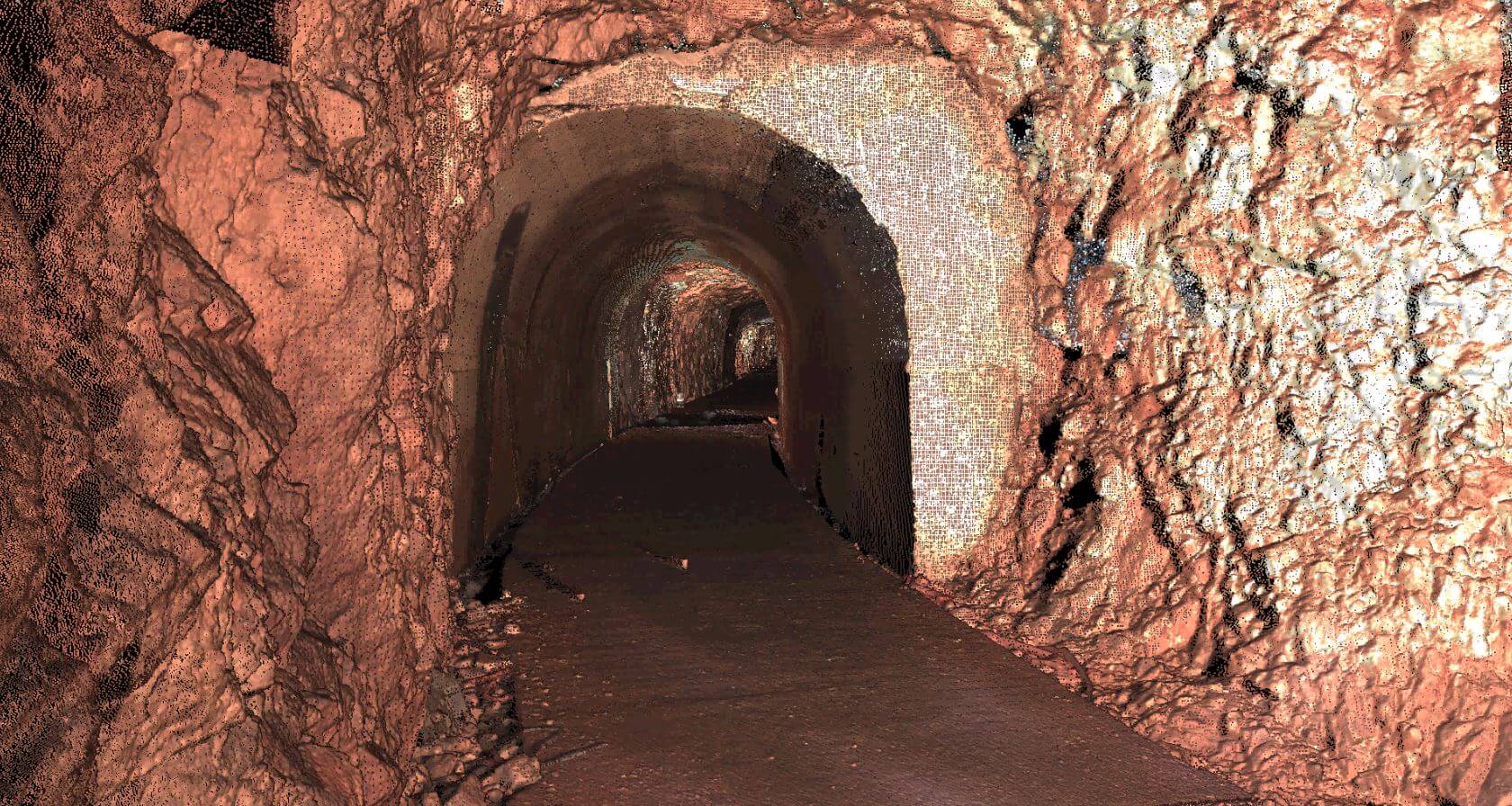
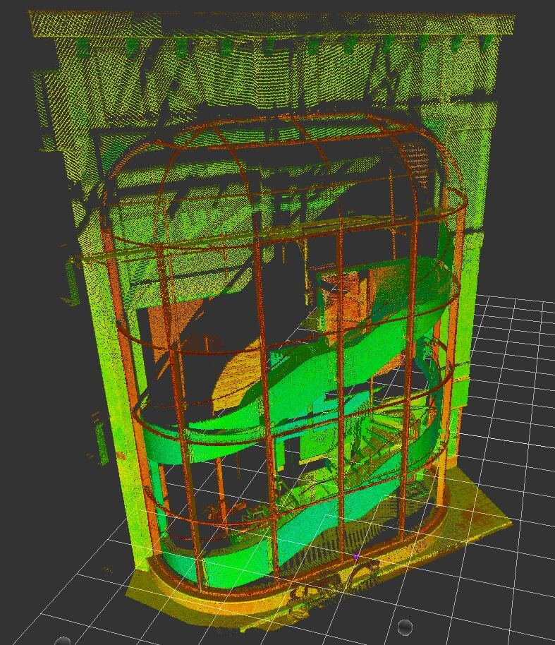
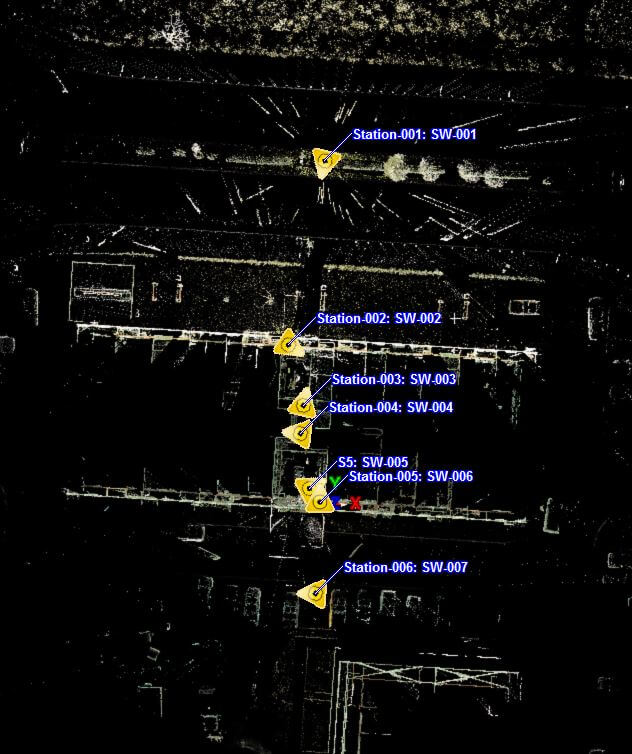
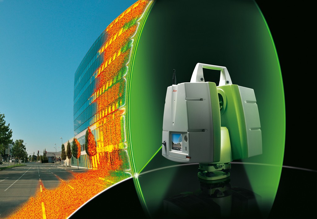
The technology of terrestrial laser scanning is present in geodesy since the early 90s, and a sudden development was realized only after the year 2000. The main advantage of this method, in comparison to other conventional terrestrial measuring techniques, is the fact that in a short period of time it can gather a large amount of data, which significantly lowers the volume of field work.
The object is represented by a large quantity of points, so it is possible to get a visually accurate tridimensional object by its modeling.
By improving the functional characteristics of laser scanners, as well as by the development of informational technologies, lately, basic prerequisites were created to satisfy two basic demands in the frame of a one rounded process of recording and mass data processing: creating a realistic model of an object in accordance to the form ad shape and high 3D geometric accuracy of the object model. The first demand is related to the visual interpretation of the object being recorded and the possibility of documenting the derived state in that sense, while the other is more interesting from a geodetic standpoint. The areas of geodetic application of laser scanning are in the tasks where it is not a priority to accomplish a mill metric positioning accuracy, respectively for recording culturally-historical monuments, industrial facilities, and object façade, and often for the making of topographic background. Lately there has been work present in the examination of this technology in the monitoring of deformities of the engineering structures, where a priori a high geometric accuracy of the object model is demanded.
geoing.me | © sektor.me
Geoengineering doo Podgorica
Katastarski poslovi, Inženjerska geodezija
tel . +382 67254152
adresa: Bulevar Vojvode Stanka Radonjića 71, 81000 Podgorica, Crna Gora